Visit Kildare – Get Outdoors
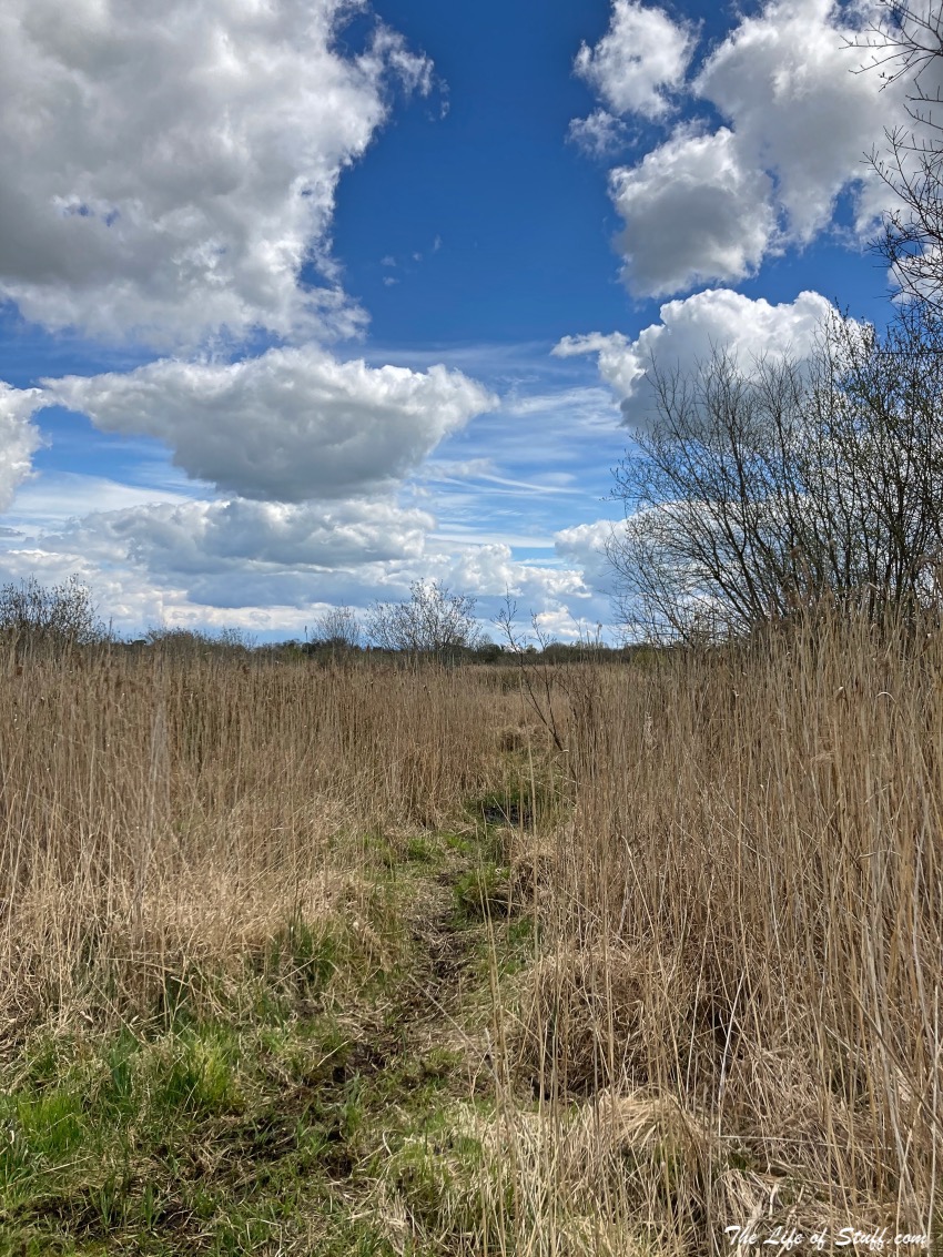
There are many reasons to visit Kildare county, from its legendary history to its stunning landscape. From its central plain and the reason it’s known as the ‘Horse Capital of Ireland’, to its uplands that bring you through to the Dublin and Wicklow Mountains. Take a boat trip along the Grand Canal, or kayak along the River Barrow. Horse ride through the county’s pastures. Tee off on the best greens. Visit the many castles, halls and manor houses. Nature spot in Ireland’s largest peatland, The Bog of Allen. Bathe in the county’s woodlands and forests. And appreciate the beauty of the farmlands that surround its picturesque villages and towns.
And when it’s time to recoup, the county of Kildare offers visitors the opportunity to wine, dine and stay in some of the best pubs, restaurants, and hotels Ireland has to offer. So the next time you’re planning a trip within the island of Ireland, be sure to visit Kildare!
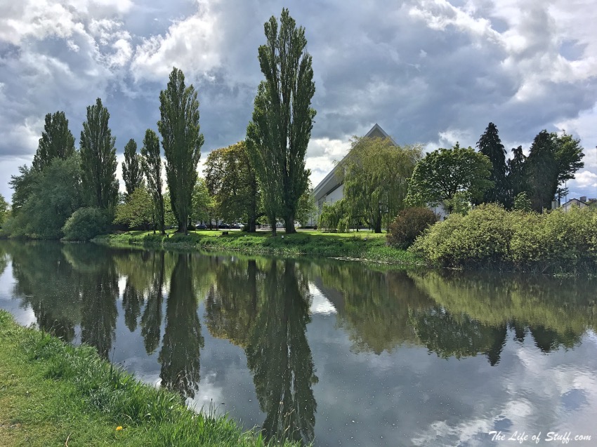
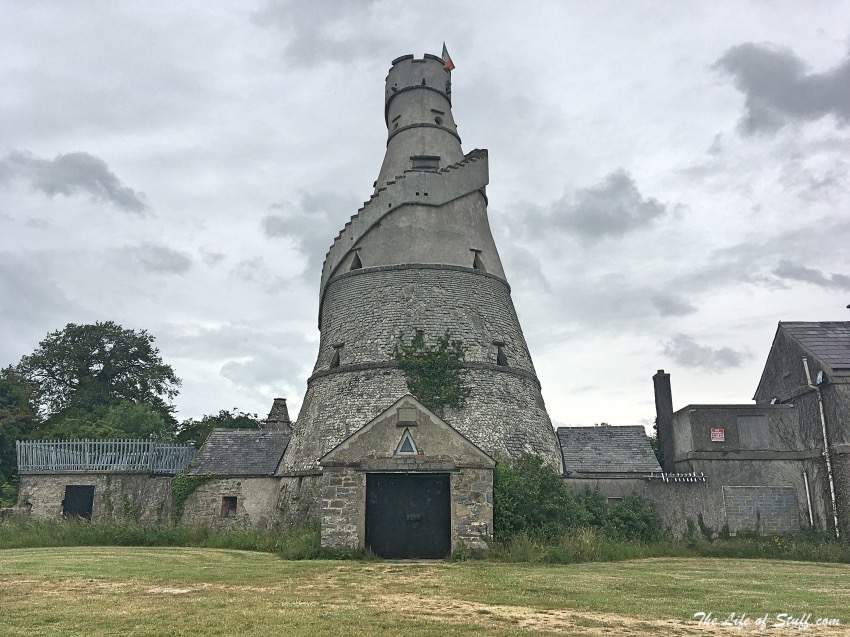
The following ‘12 Fabulous Free Reasons to Get Outdoors and Visit Kildare‘ have all been tried and tested as family excursions and days out. Some have lasted minutes, others hours. We’ve combined a number of places on days out – for example when visiting Mullaghreelan Woods in Castledermot, you can also visit the High Crosses and Round Tower. Or when visiting The Wonderful Barn in Leixlip, a 15 minute drive will bring you to Castletown House and Parklands.
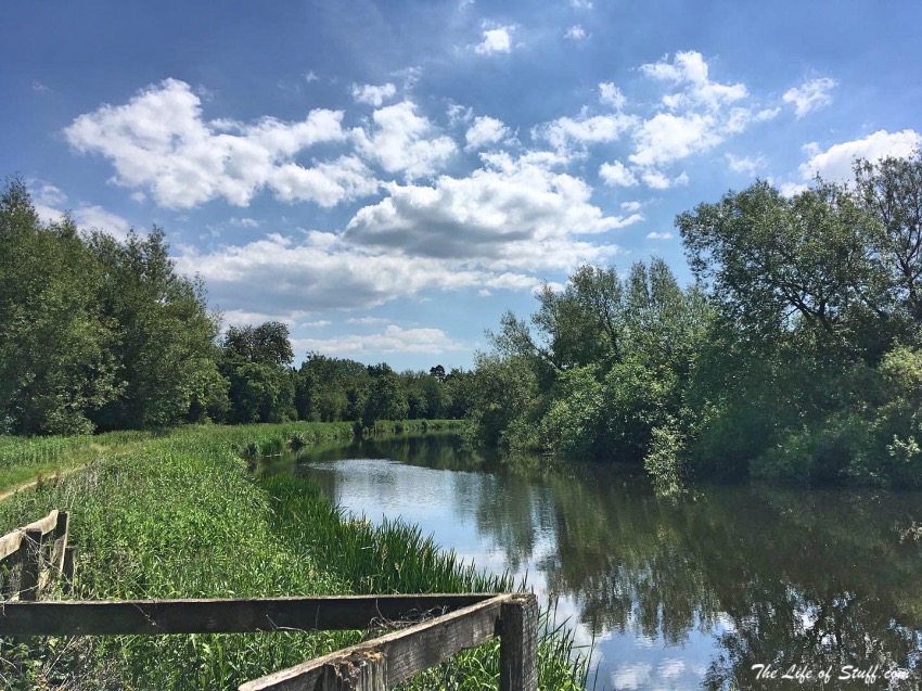
Is your favourite free reason to visit Kildare and get outdoors not on the list? Let us know in the comment section below. And do check back to The Life of Stuff travel pages for more travel inspiration. For now, do click on the smaller photographs to enlarge them – I hope they inspire you to explore!
Further Reading: Get Into Kildare – A Fun Family Weekend Experience
Table of Contents
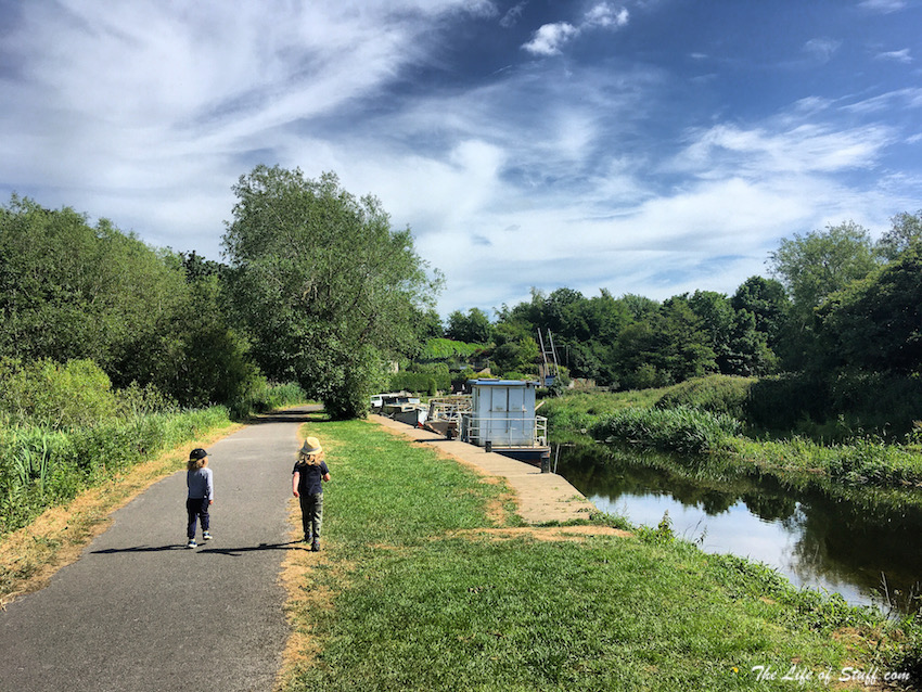
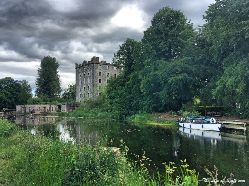
Athy Waterways Grand Canal and River Barrow Walk
Location: Barrow Quay, Athy, Co. Kildare
Google Maps Coordinates: 52°59’29.6″N 6°59’03.5″W
Top Tips:
- Start your walk at Barrow Quay, near Crom-a-Boo Bridge, across from Whites Castle and walk along the river past the historic ‘One Horse Bridge.’ Cross over the bridge and it will bring you the Grand Canal. Observe where the Grand Canal and River Barrow meet – this junction between canal and river is quite special. If walking is your thing then keep to the original pathway and walk on to Ardreigh Lock, and from there you can go on to Levitstown Lock and Levitstown Mill.
- If walking isn’t your forte then can always take a boat trip instead.
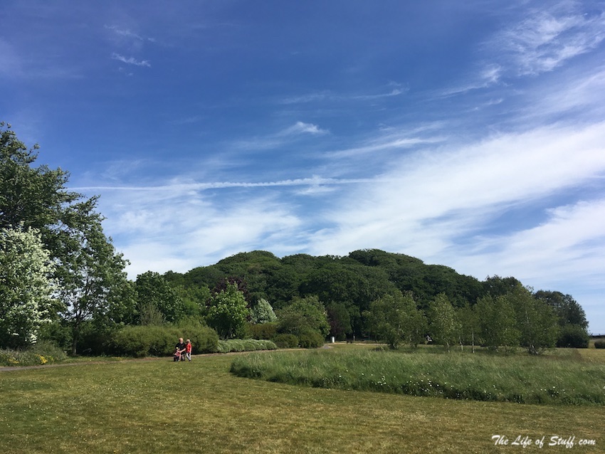
The Moat at Ardscull
Location: Ardscull, Co. Kildare
Google Maps Coordinates: 53°01’27.3″N 6°54’54.4″W
Top Tips:
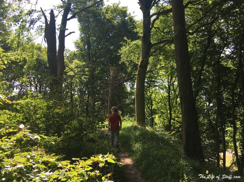
- There’s a small stepped opening over the wall of the Moat which brings you through to the ancient landmark. Take a walk around the moat through the woodland or if you’d like to take the higher path, you’ll find the easiest spot to ascend from the path to the left of where you entered the moat.
- When you’ve walked around and through the moat, take a walk across the road to the wildflower garden and green. Ideal for a leisurely stroll, or even better a picnic!
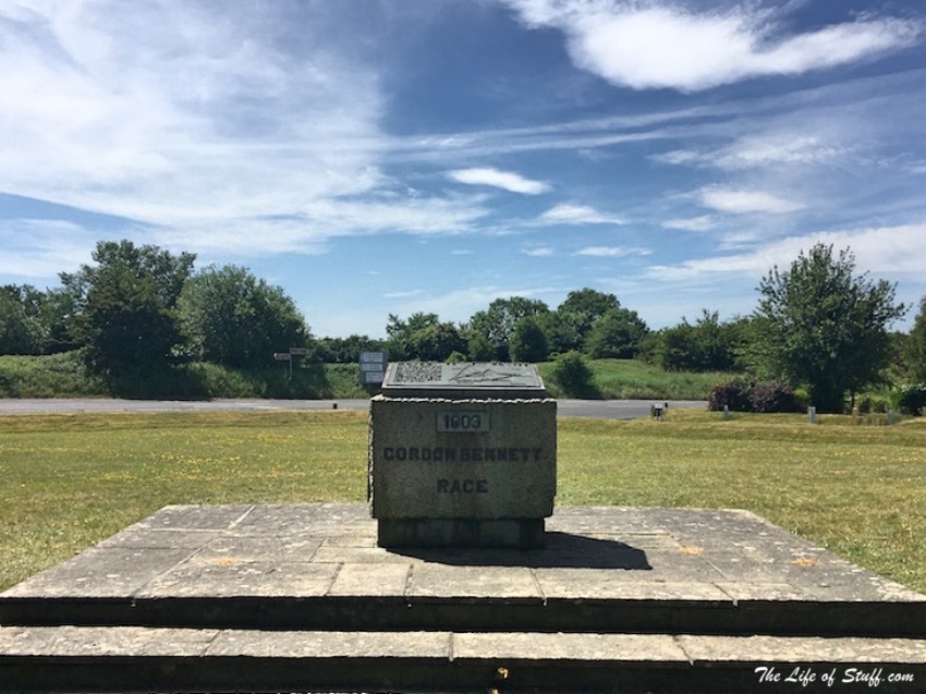
- Did you know that the Moat of Ardscull was on the 1903 Gordon Bennett Rally route? – the first international motor race to be held in Ireland?
Mullaghreelan Wood
Location: Mullaghreelan Wood, Mullaghreelan, Co. Kildare
Google Maps Coordinates: 52°56’00.5″N 6°52’40.7″W
Top Tips:
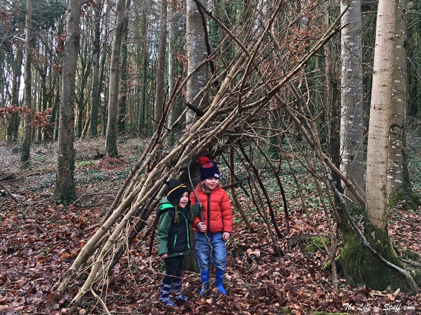
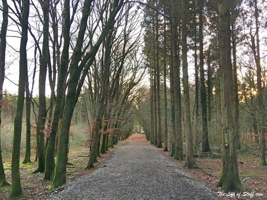
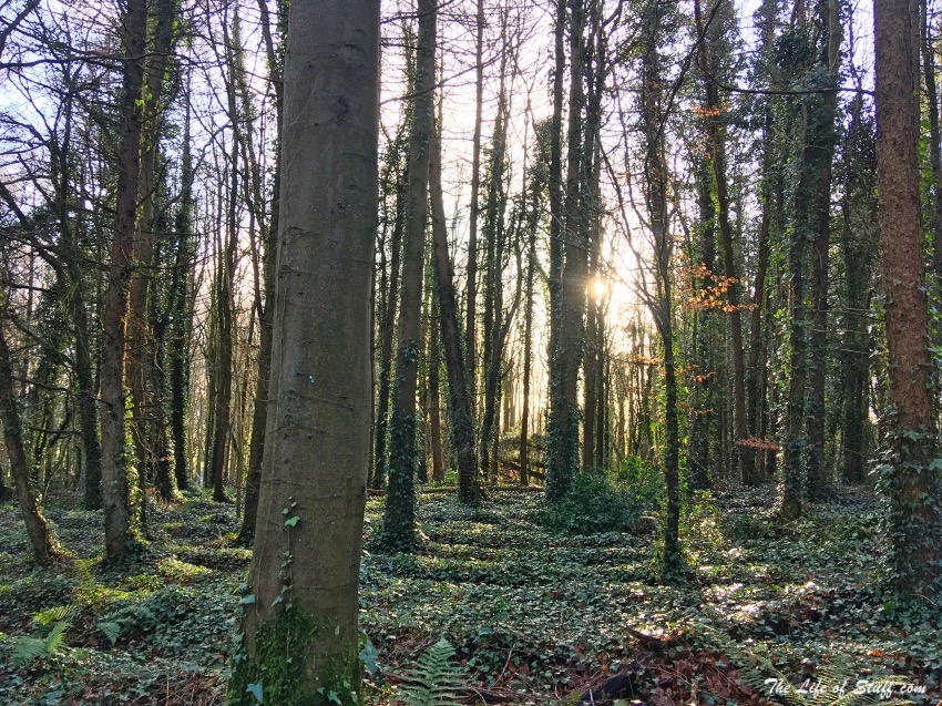
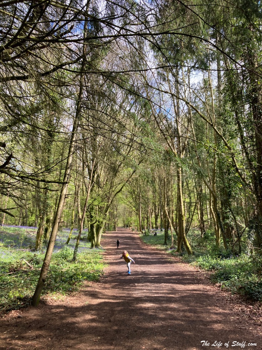
- Mullaghreelan Wood is a fabulous woodland, steeped in ancient history. Take a walk up to hill top rath and look out at the landscape around you. Keep to the pathways but do stray off the beaten ones to take peeks across the fields. Find the beech-lined avenue, build forts and forest bathe.
- The terrain is perfect for walking, running, and cycling. Your dog will love the adventure but keep him/her on a leash at all times.
Killinthomas Wood
Location: Killinthomas Wood, Killyguire, Rathangan, Co. Kildare
Google Maps Coordinates: 53°14’27.2″N 7°00’07.5″W
Top Tips:
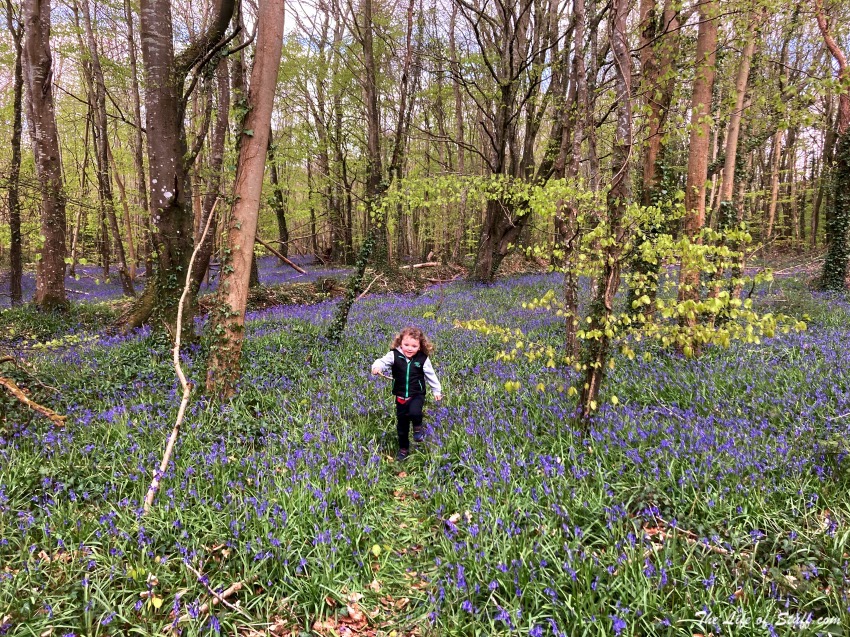
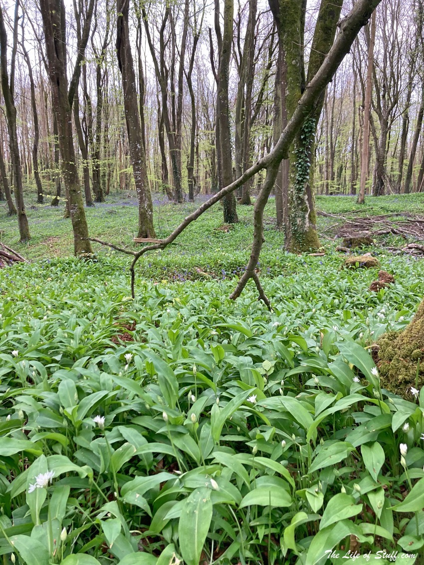
- Killinthomas Wood is a beautiful woodland and worth a visit any time of year. Our favourite has been our most recent, in the month of May, when the forest floor is carpeted in bluebells in some parts and the pretty white flowers of wild garlic in others – you’ll definitely recognise the later as your senses are awakened by their aroma.
- With picnic benches dotted around the woodland trails, you’ll be delighted you brought those sandwiches and snacks to enjoy – just remember to LEAVE NO TRACE!
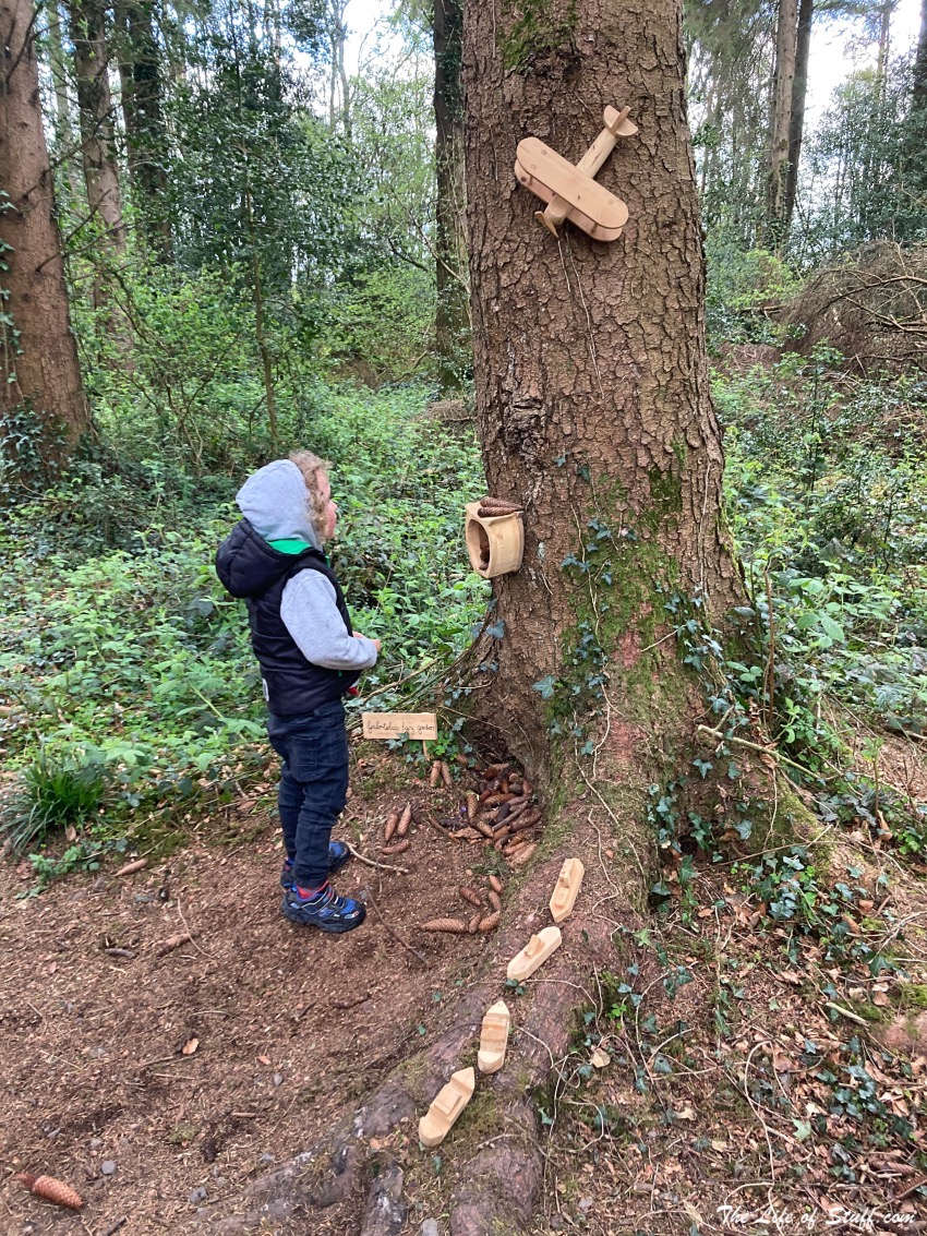
- The terrain is flat and perfect for small children, prams, or those who prefer an easy walk. There are signs to let you know which trails you are on from ‘Bluebell Way’ to ‘Hazel Walk’. And be sure to keep an eye out for the fairy trees!
- Parking is tight in the small car park but have patience and with luck you’ll get a spot easily enough.
Castledermot Abbey, Round Tower & High Crosses
Location: Abbey Street, Castledermot, Co. Kildare
Google Maps Coordinates: 52°54’30.9″N 6°50’13.4″W
Top Tips:
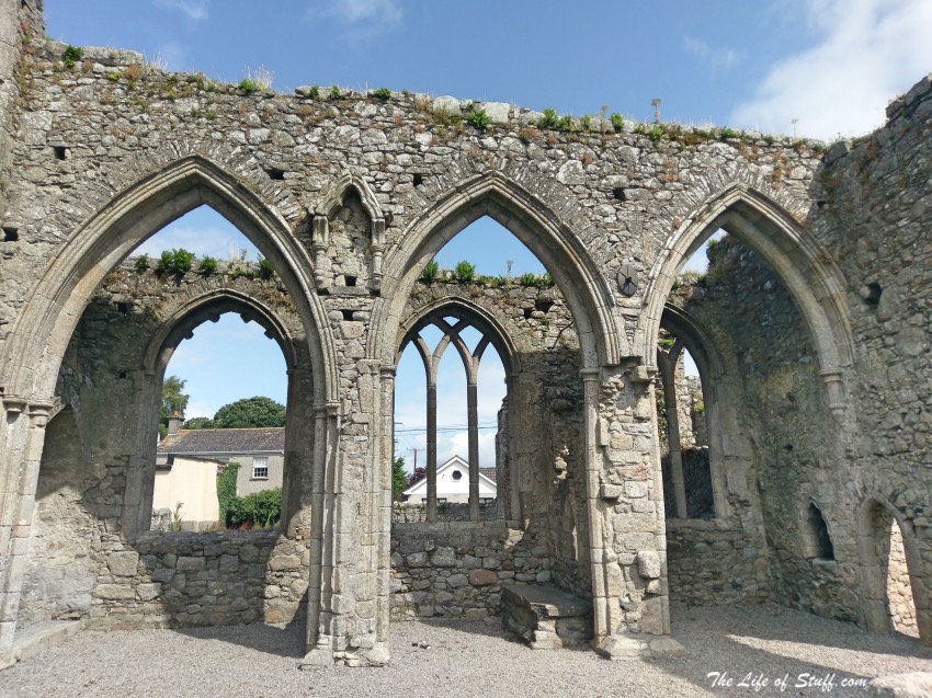
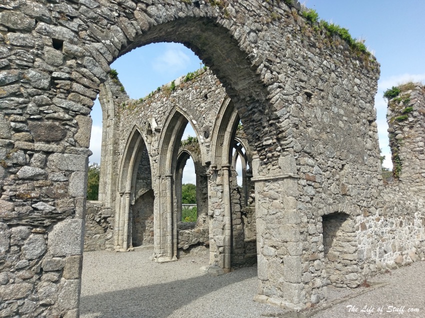
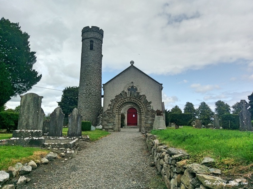
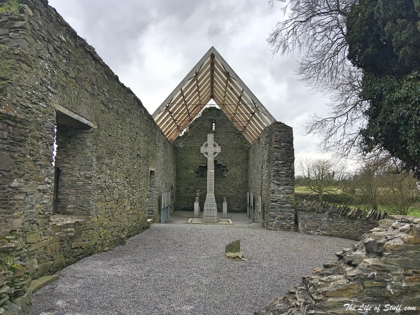
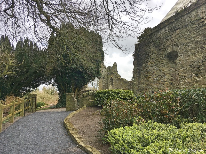
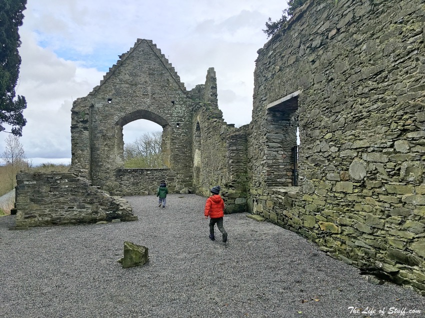
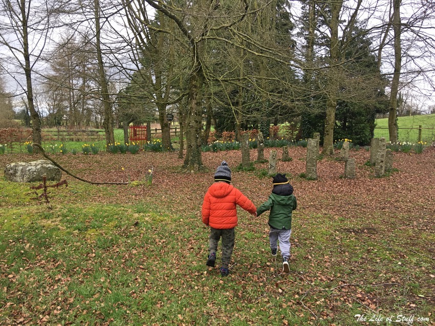
- Castledermot Abbey also called ‘Castledermot Franciscan Friary’ was founded around the 40’s, the 1240’s that is. Today it stands in ruins, but beautiful ruins just off Abbey Street in the town. A walk around won’t take long but is worth your visit.
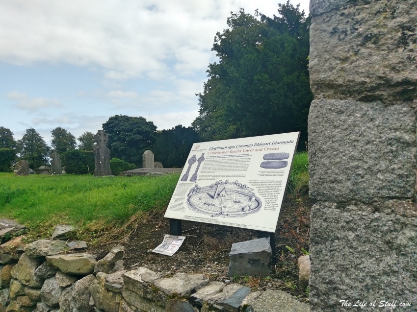
- After your visit take a short walk to Castledermot High Crosses and Round Tower. Castledermot High Crosses and Round Tower can be found at St. James’ Church of Ireland just of Church Lane (coordinates 52°54’37.5″N 6°50’05.6″W). As you walk around keep an eye out for early Christian and medieval grave slabs. And if you’re travelling with little explorers let them know that a monastery once stood where the church is now and that it was raided by Vikings back in the day!
Moone High Cross
Location: Simonstown West, Co. Kildare
Google Maps Coordinates: 52°58’45.9″N 6°49’30.4″W
Top Tips:
- Reconstructed to its original size, and standing at 17.5 feet, Moone High Cross is the second tallest High Cross in Ireland! You don’t need to be holy to appreciate the art, craft and story-telling abilities of those who created it in the 10th Century!
- This is by no means a big site however if you have littles with you, they’ll enjoy exploring the area and the pictures depicted on the cross. And if you enjoy telling them stories about fairies then take a short drive to the Moone High Cross Inn, where across the road you’ll find a magical little garden with flowers and a fairy ring! You’ll find it on Belan Ave at google maps coordinates 52°57’11.4″N 6°50’23.8″W.
The Curragh
Location: The Curragh, Co. Kildare
Top Tips:
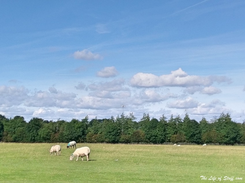
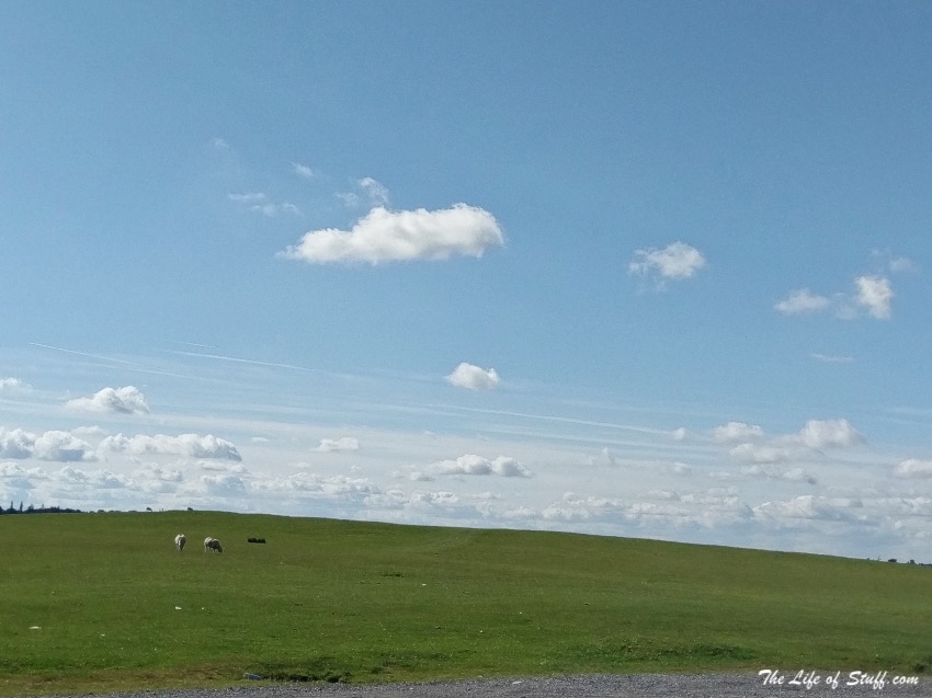
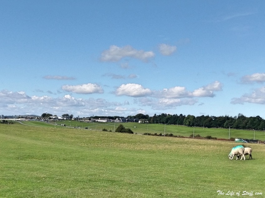
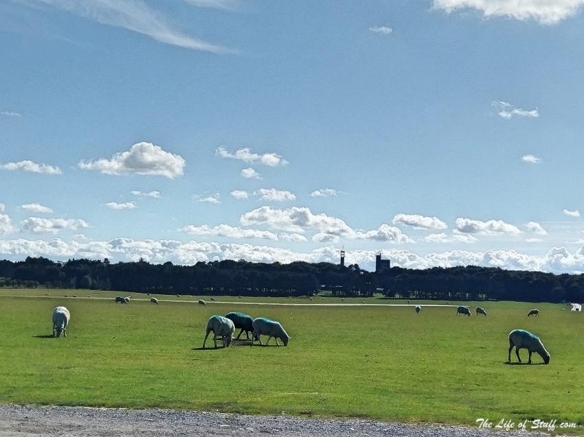
- The Curragh of Kildare is about 5,000 acres and according to Kildare Heritage it’s “Ireland’s largest, finest, and possibly only, example of a surviving ancient lowland unenclosed grassland.” And the best part is that you can walk in any direction you like across it!
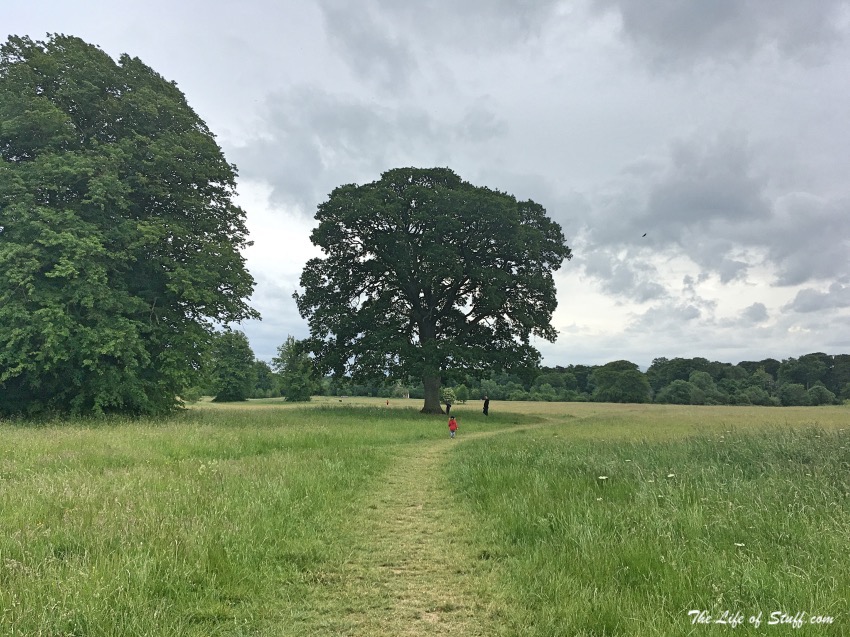
- Bring a ball, or a kite, bring wellies just in case the sheep have left little presents for you! Walk near the racecourse and you might spot some horses. And stay for the sunset for some beautiful photo opportunities.
Pollardstown Fen
Location: Pollardstown Fen, Pollardstown, Co. Kildare
Google Maps Coordinates: 53°11’00.6″N 6°50’44.2″W
Top Tips:
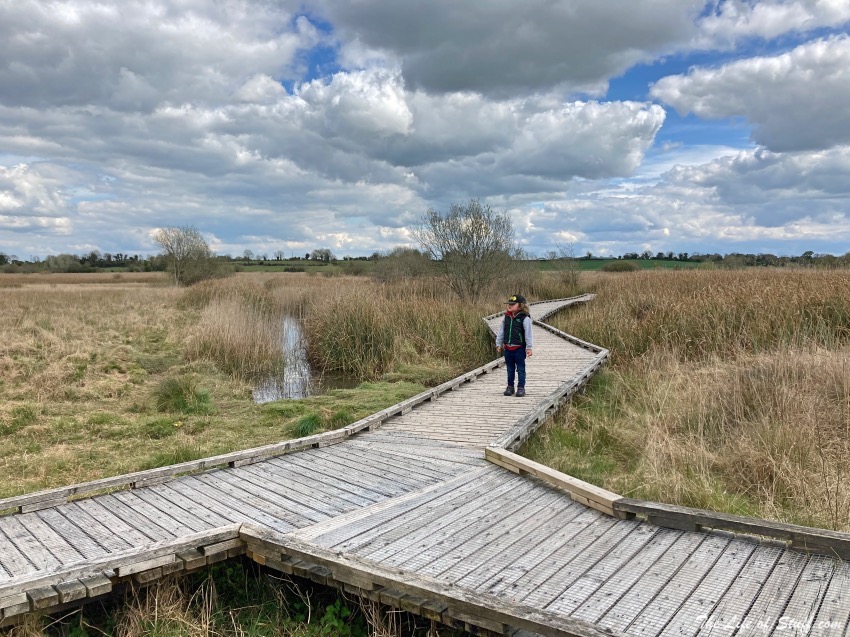
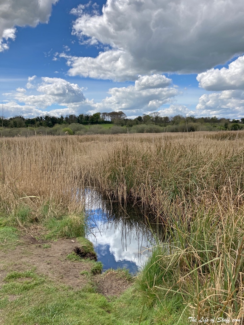
- Near The Curragh is Pollardstown Fen, the largest spring-fed fen in Ireland. Here you’ll find lots of flowers and fauna, plus a short looped boardwalk, or a longer walking trail for those who prefer to really stretch their legs.
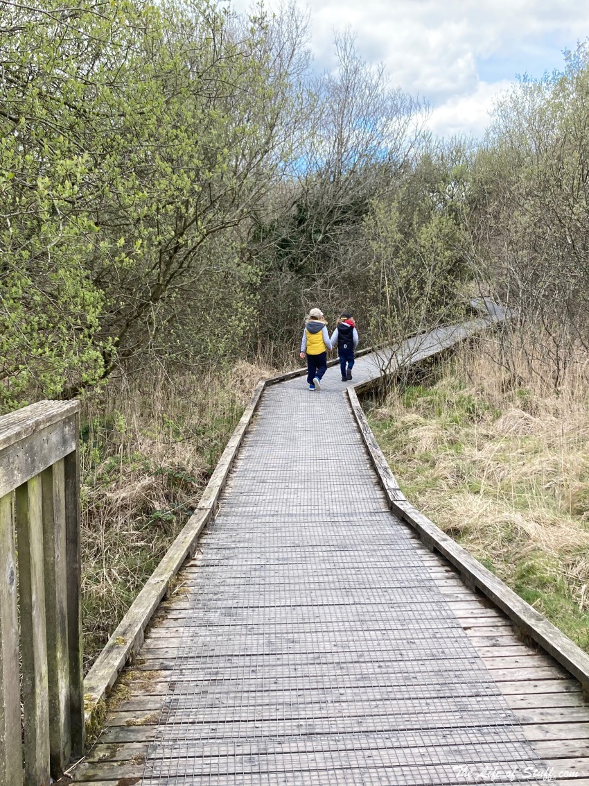
- The boardwalk that stretches around the fen is stable and wide enough for all the family to enjoy including toddlers and those in prams.
- Keep an eye out for the information boards around the fen that explain its creation and the Irish flora, fauna and wildlife you can spot.
The Bog of Allen – Lodge Bog and Lullymore West Bog
Location: Lullymore West, Co. Kildare
Google Maps Coordinates: largest remaining spring-fed fen in Ireland.
Top Tips:
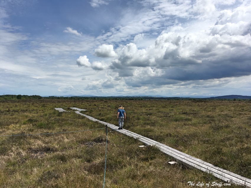
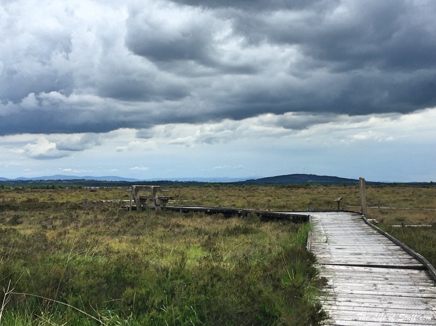
- If you can’t visit the Bog of Allen Nature Centre, definitely visit it online before you arrive at the Bog of Allen – it’s full of great information, directions, and maps. My top tips are to first visit Lodge Bog (53°16’55.8″N 6°55’50.4″W) which has a short 100m boardwalk and a big comfy bench to enjoy a packed lunch or picnic – depending how busy it is of course and always LEAVE NO TRACE.
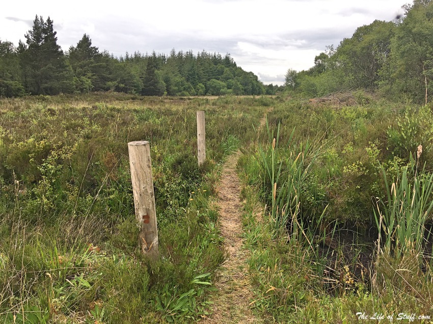
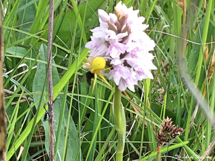
- Then after your short visit to Lodge Bog take yourself to Lullymore West Bog (53°16’34.8″N 6°57’32.9″W) – a beautiful area of peatlands full of flowers and fauna. On our last visit we spotted crab spiders, dragon flies, grasshoppers, wild orchids and many more insects, plants and trees.
The Wonderful Barn
Location: Celbridge Rd, Barnhall, Leixlip, Co. Kildare
Google Maps Coordinates: 53°21’32.1″N 6°30’32.3″W
Top Tips:
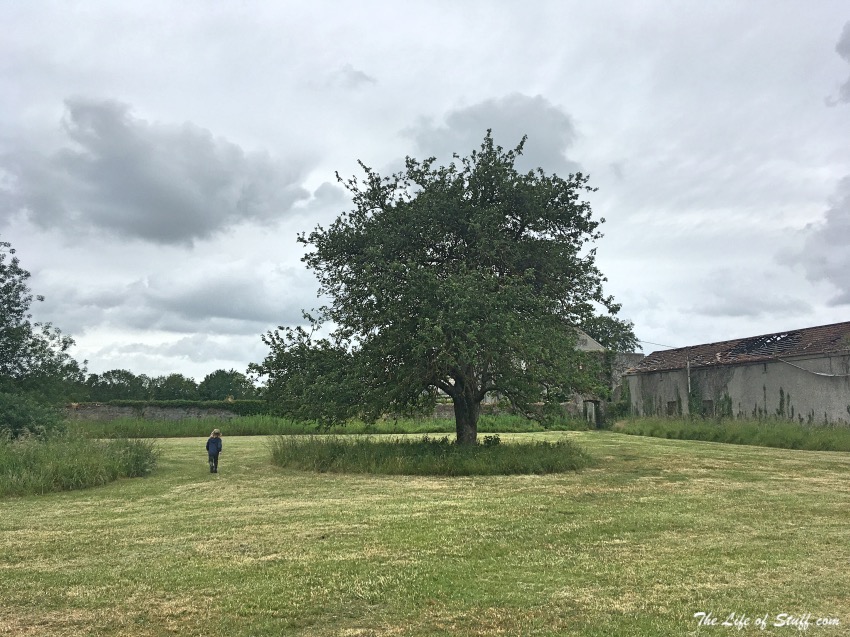
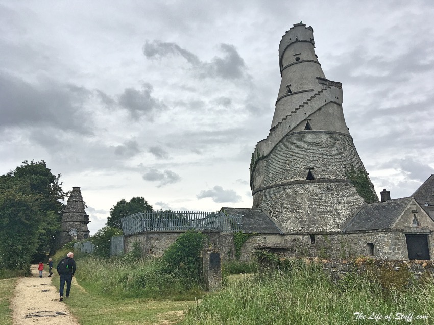
- There’s a small car park across from the Wonderful Barn allotments – which are lovely to look at. From there take a stroll to the barn. And from the barn there is a walk that can be taken around the grassland behind it.
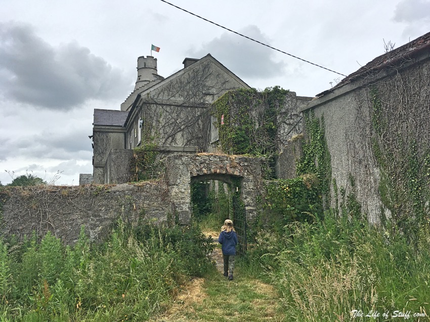
- We didn’t picnic here but if you are, I’d recommend the walled area before you enter the wonderful barn building. It would be wonderful if the barn could be accessed but for now the wonderful barn can only be viewed from the outside. As mentioned above – if you are planning to visit Kildare and the Wonderful Barn, factor in time to visit Castletown House and Parklands too.
Donadea Forest Park
Location: Donadea Demesne, Co. Kildare
Google Maps Coordinates: 53°20’31.2″N 6°44’42.3″W
Top Tips:
- The gate was up when we last visited Donadea Forest Park and so we didn’t have to pay the €5 parking fee – which in my opinion should not be this expensive.
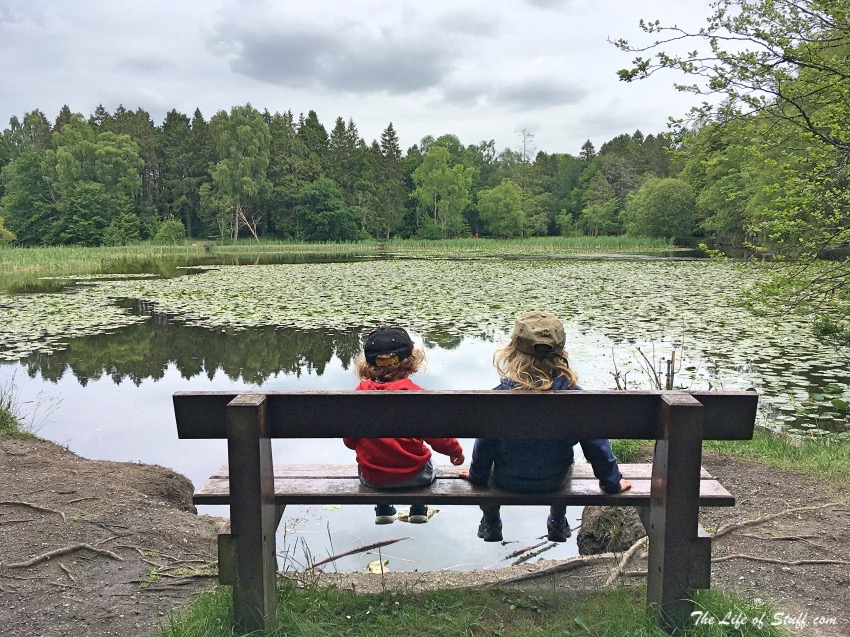
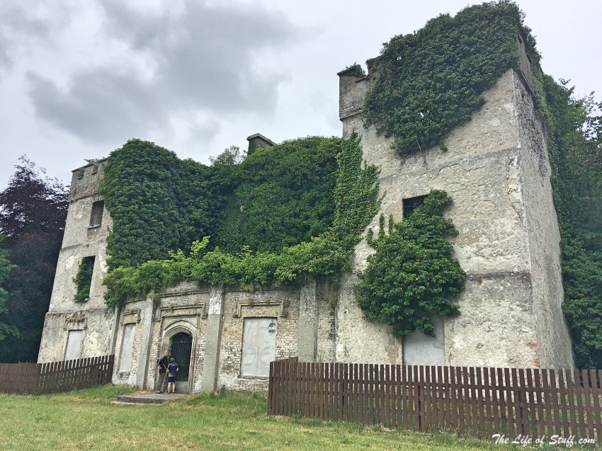
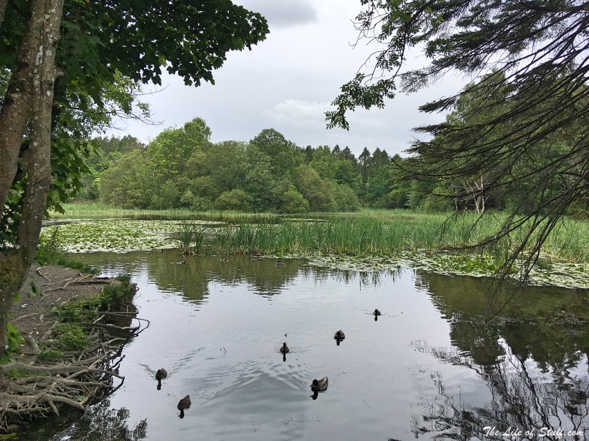
- There is a small café on site, and toilets – when they are open. The forest park has its own ruined castle, a woodland walk with bunting decorating a picnic area near the café, and benches scattered around a beautiful water lily filled lake. Bring food for the ducks as well as your own picnic. The pathways are suitable for strollers and if you fancy a walk walk – there’s an option to take the 5km Aylmer loop, named after the once owners of the estate.
Castletown House and Parklands
Location: Castletown, Celbridge, Co. Kildare
Google Maps Coordinates: 53.351862, -6.527661
Top Tips:
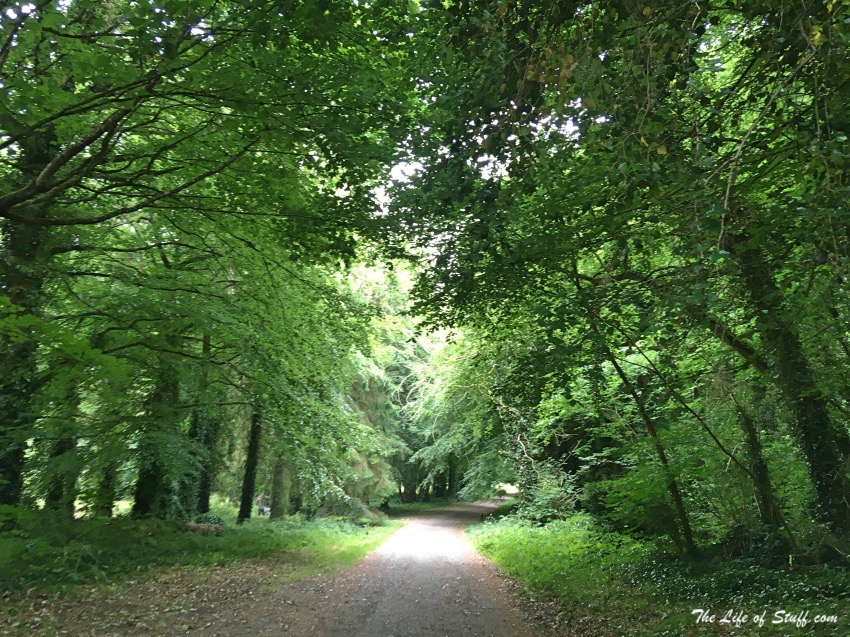
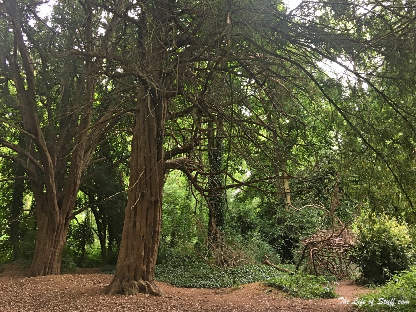
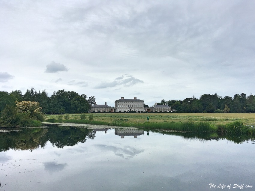
- Park up in the car park and walk through the ‘Enchanted Forest’ that leads to Castletown House – if you have littles, they will love it. If you don’t do it anyway – it’s good for the soul.
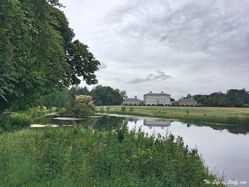
- If you do decide to visit Kildare and Castletown House – definitely bring a picnic, and if you’re a tea or coffee lover – purchase one from the café on site. There is plenty of room around the meadow to enjoy your lunch, but again please LEAVE NO TRACE. When you’ve finished your bite to eat, take a walk past Mrs Siddons Temple, visit the River Liffey, then walk back to the house over the bridges via the beautiful duck-filled lake.
Further Reading:
- Visit Laois – 10 Fabulous Free Things to Do Outdoors
- The 5 Best Romantic Walks and Strolls in Dublin City
- Family Friendly: Five Fabulous Reasons to Get Outdoors in Carlow
- Destination Westport, Co. Mayo – 10 Family Friendly Things to Do
PIN Visit Kildare – 10 Fabulous Free Reasons to Get Outdoors:
Follow The Life of Stuff on Facebook | Twitter | Pinterest | Instagram
- 7 Customs From Around the World to Know Before You Visit - July 10, 2024
- Invest the Their Future: 6 Reasons to Teach a Child to Save - June 14, 2024
- 8 of the Most Scenic Trails for Walking Holidays in the UK - May 22, 2024

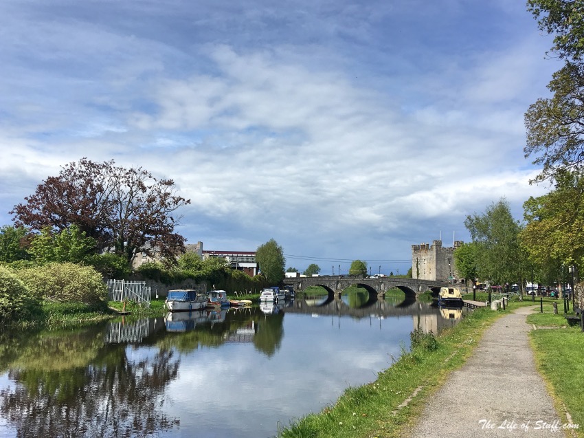
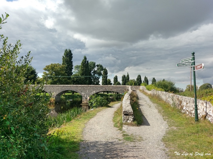




Great exploring, the Grand Canal Walks around Naas and the historic trail which winds around the town telling it’s stories right back to when the Kings of Ireland sat here. Barge trips available to the Aquaduct in Sallins from Bargetrip.ie where the captain will tell great stories from the life of the Grand Canal in Kildare. St Davids Church of Ireland church grounds is beautiful with remnants of St David’s Castle where Parliament once took place. Lawlor’s hotel where I work was built in 1913 and down the road, Lawlor’s Ballroom once stood where everyone from Joe Dolan to Marianne Faithful and the Boomtown Rats once played.
If you visit Celbridge Breda Considine runs really cool walks along the Canal and Arthurs way with great stories she has built up over the years.
Excellent recommendations, thank you! I hope to experience them myself too some day soon.